Field near Abbey
Introduction
The photograph on this page of Field near Abbey by Derek Harper as part of the Geograph project.
The Geograph project started in 2005 with the aim of publishing, organising and preserving representative images for every square kilometre of Great Britain, Ireland and the Isle of Man.

There are currently over 7.5m images from over 14,400 individuals and you can help contribute to the project by visiting https://www.geograph.org.uk
Field near Abbey
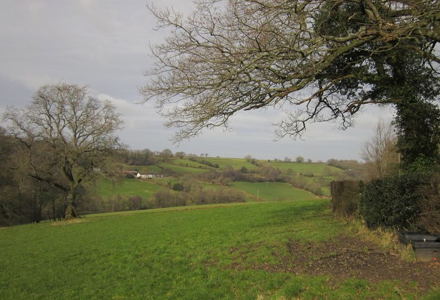
Image: © Derek Harper Taken: 14 Feb 2012
A field crossed by Dunkeswell Footpath 15, although I'm afraid I mistook the exit and left by this gate rather than the one shown in Image, as this one was visible from Acre Pits and most fields only have one gate onto an adjoining lane. The oak on the left forms part of a row marking an old field boundary. Across the valley is Image
Images are licensed for reuse under creativecommons.org/licenses/by-sa/2.0
Image Location
Latitude
50.884309
Longitude
-3.225481