Grade II listed Athelstan, Grosmont
Introduction
The photograph on this page of Grade II listed Athelstan, Grosmont by Jaggery as part of the Geograph project.
The Geograph project started in 2005 with the aim of publishing, organising and preserving representative images for every square kilometre of Great Britain, Ireland and the Isle of Man.

There are currently over 7.5m images from over 14,400 individuals and you can help contribute to the project by visiting https://www.geograph.org.uk
Grade II listed Athelstan, Grosmont
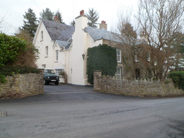
Image: © Jaggery Taken: 19 Feb 2012
Set back from the north side of the B4347, opposite Alma House. http://www.geograph.org.uk/photo/2814245 Dating from the 16th or perhaps 17th century, the house was Grade II listed in October 2000.
Images are licensed for reuse under creativecommons.org/licenses/by-sa/2.0
Image Location
Latitude
51.914036
Longitude
-2.866442