Countryside near Kingsbury Regis
Introduction
The photograph on this page of Countryside near Kingsbury Regis by Nigel Mykura as part of the Geograph project.
The Geograph project started in 2005 with the aim of publishing, organising and preserving representative images for every square kilometre of Great Britain, Ireland and the Isle of Man.

There are currently over 7.5m images from over 14,400 individuals and you can help contribute to the project by visiting https://www.geograph.org.uk
Countryside near Kingsbury Regis
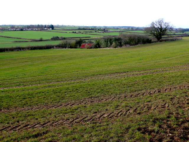
Image: © Nigel Mykura Taken: 20 Feb 2012
These are the fields just east of the Kingsbury area of Milborne Port (visible in the distance) as viewed from Wheathill Lane as it climbs the steep scarp slope of East Hill. The lane leads to Henstridge Bowden.
Images are licensed for reuse under creativecommons.org/licenses/by-sa/2.0
Image Location
Latitude
50.973487
Longitude
-2.454718