Farmland, South Heath, Great Missenden
Introduction
The photograph on this page of Farmland, South Heath, Great Missenden by Andrew Smith as part of the Geograph project.
The Geograph project started in 2005 with the aim of publishing, organising and preserving representative images for every square kilometre of Great Britain, Ireland and the Isle of Man.

There are currently over 7.5m images from over 14,400 individuals and you can help contribute to the project by visiting https://www.geograph.org.uk
Farmland, South Heath, Great Missenden
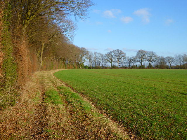
Image: © Andrew Smith Taken: 15 Jan 2012
Arable land on the southern side of Redding Wick (wood).
Images are licensed for reuse under creativecommons.org/licenses/by-sa/2.0
Image Location
Latitude
51.708608
Longitude
-0.672958