Allington Lane, near Grantham
Introduction
The photograph on this page of Allington Lane, near Grantham by Kate Jewell as part of the Geograph project.
The Geograph project started in 2005 with the aim of publishing, organising and preserving representative images for every square kilometre of Great Britain, Ireland and the Isle of Man.

There are currently over 7.5m images from over 14,400 individuals and you can help contribute to the project by visiting https://www.geograph.org.uk
Allington Lane, near Grantham
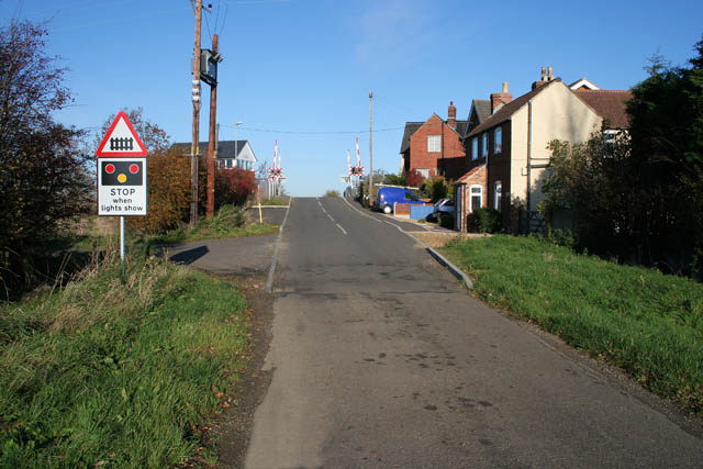
Image: © Kate Jewell Taken: 19 Nov 2006
The building on the left is the signal box; the first house on the right is Dairy Farm with Railway Cottages behind.
Images are licensed for reuse under creativecommons.org/licenses/by-sa/2.0
Image Location
Latitude
52.93313
Longitude
-0.703213