Bridges over the Ribble
Introduction
The photograph on this page of Bridges over the Ribble by Bill Boaden as part of the Geograph project.
The Geograph project started in 2005 with the aim of publishing, organising and preserving representative images for every square kilometre of Great Britain, Ireland and the Isle of Man.

There are currently over 7.5m images from over 14,400 individuals and you can help contribute to the project by visiting https://www.geograph.org.uk
Bridges over the Ribble
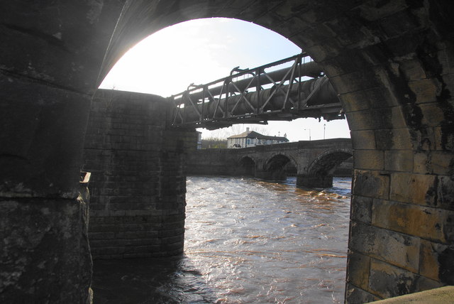
Image: © Bill Boaden Taken: 18 Feb 2012
The nearer bridge was a former railway bridge, now carrying only piping. To the right is Penwortham Bridge which is now closed to vehicular traffic.
Images are licensed for reuse under creativecommons.org/licenses/by-sa/2.0
Image Location
Latitude
53.748583
Longitude
-2.713584