Cracked benchmark
Introduction
The photograph on this page of Cracked benchmark by Neil Owen as part of the Geograph project.
The Geograph project started in 2005 with the aim of publishing, organising and preserving representative images for every square kilometre of Great Britain, Ireland and the Isle of Man.

There are currently over 7.5m images from over 14,400 individuals and you can help contribute to the project by visiting https://www.geograph.org.uk
Cracked benchmark
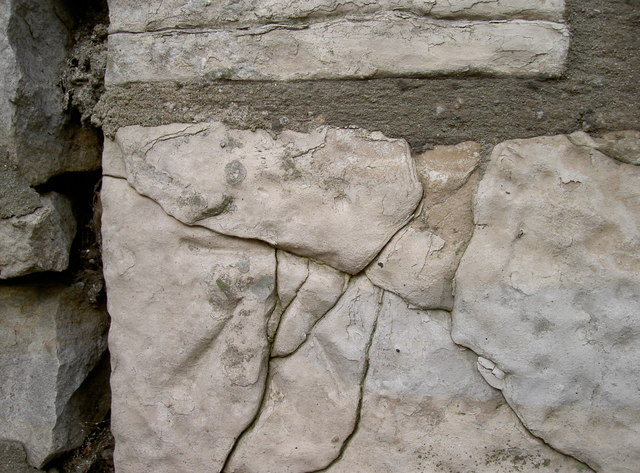
Image: © Neil Owen Taken: 14 Feb 2012
The stone block that was used to site a benchmark has, over the years, obviously suffered from the elements. Although faint the mark is still recognisable; see http://www.bench-marks.org.uk/bm41528 for details in the Benchmark Database, or Image] for a view of the building it's located on.
Images are licensed for reuse under creativecommons.org/licenses/by-sa/2.0
Image Location


Leaflet Map data © OpenStreetMap
Latitude
51.404956
Longitude
-2.551858