Benchmark on the chapel
Introduction
The photograph on this page of Benchmark on the chapel by Jonathan Kington as part of the Geograph project.
The Geograph project started in 2005 with the aim of publishing, organising and preserving representative images for every square kilometre of Great Britain, Ireland and the Isle of Man.

There are currently over 7.5m images from over 14,400 individuals and you can help contribute to the project by visiting https://www.geograph.org.uk
Benchmark on the chapel
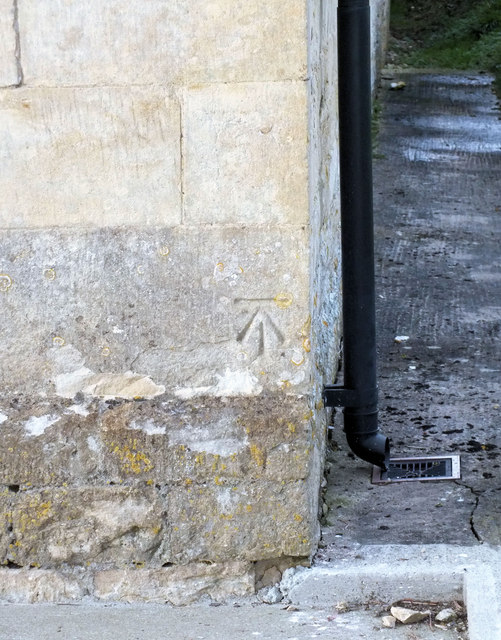
Image: © Jonathan Kington Taken: 19 Feb 2012
The Ordnance Survey cut mark can be found on Image in Stour Row, for more information visit http://www.bench-marks.org.uk/bm41527 .
Images are licensed for reuse under creativecommons.org/licenses/by-sa/2.0
Image Location
Latitude
50.988654
Longitude
-2.258395