Cross Tree Farm
Introduction
The photograph on this page of Cross Tree Farm by Jonathan Kington as part of the Geograph project.
The Geograph project started in 2005 with the aim of publishing, organising and preserving representative images for every square kilometre of Great Britain, Ireland and the Isle of Man.

There are currently over 7.5m images from over 14,400 individuals and you can help contribute to the project by visiting https://www.geograph.org.uk
Cross Tree Farm
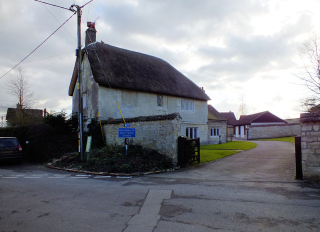
Image: © Jonathan Kington Taken: 19 Feb 2012
The 17th century, Grade II listed ( http://www.britishlistedbuildings.co.uk/en-102719-cross-tree-farmhouse-marnhull ), cottage is on the junction of Burton Street and Sackmore Lane. There is an Ordnance Survey benchmark on the house that is just visible behind the hedge, see Image
Images are licensed for reuse under creativecommons.org/licenses/by-sa/2.0
Image Location
Latitude
50.972716
Longitude
-2.321557