New Hampton Road
Introduction
The photograph on this page of New Hampton Road by Alan Murray-Rust as part of the Geograph project.
The Geograph project started in 2005 with the aim of publishing, organising and preserving representative images for every square kilometre of Great Britain, Ireland and the Isle of Man.

There are currently over 7.5m images from over 14,400 individuals and you can help contribute to the project by visiting https://www.geograph.org.uk
New Hampton Road
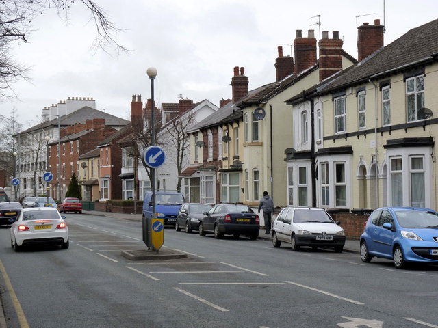
Image: © Alan Murray-Rust Taken: 14 Feb 2012
Looking north west from near Dunkley Road. The imposing terrace in the distance is Waterloo Terrace, presumably dating from shortly after 1815. It is locally but not nationally listed.
Images are licensed for reuse under creativecommons.org/licenses/by-sa/2.0
Image Location
Latitude
52.591242
Longitude
-2.135909