Old Line of Chesterfield Canal
Introduction
The photograph on this page of Old Line of Chesterfield Canal by John Jennings as part of the Geograph project.
The Geograph project started in 2005 with the aim of publishing, organising and preserving representative images for every square kilometre of Great Britain, Ireland and the Isle of Man.

There are currently over 7.5m images from over 14,400 individuals and you can help contribute to the project by visiting https://www.geograph.org.uk
Old Line of Chesterfield Canal
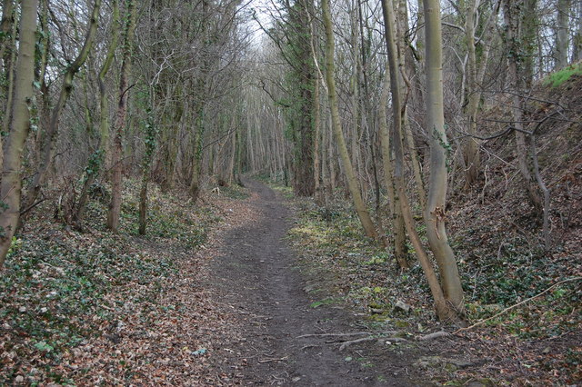
Image: © John Jennings Taken: 20 Feb 2012
The canal passed to the west of Birley & Boiley farms it followed the 55metre contour rejoining the route north east of Boiley Farm. This section became redundant due to the building of a railway in 1892 which rerouted the canal.
Images are licensed for reuse under creativecommons.org/licenses/by-sa/2.0
Image Location
Latitude
53.304735
Longitude
-1.333828