Roundabout and trig point on Annesley Road, Wighay
Introduction
The photograph on this page of Roundabout and trig point on Annesley Road, Wighay by Antony Dixon as part of the Geograph project.
The Geograph project started in 2005 with the aim of publishing, organising and preserving representative images for every square kilometre of Great Britain, Ireland and the Isle of Man.

There are currently over 7.5m images from over 14,400 individuals and you can help contribute to the project by visiting https://www.geograph.org.uk
Roundabout and trig point on Annesley Road, Wighay
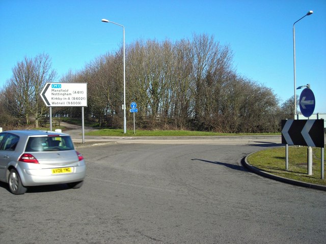
Image: © Antony Dixon Taken: 19 Feb 2012
You can just about see the trig point in this shot - it's that pale smudge in the middle of the clump of trees, just to the right of the blue sign. The track leads to Top Wighay Farm.
Images are licensed for reuse under creativecommons.org/licenses/by-sa/2.0
Image Location
Latitude
53.049006
Longitude
-1.217243