The Methodist Chapel, Styal Village
Introduction
The photograph on this page of The Methodist Chapel, Styal Village by David Dixon as part of the Geograph project.
The Geograph project started in 2005 with the aim of publishing, organising and preserving representative images for every square kilometre of Great Britain, Ireland and the Isle of Man.

There are currently over 7.5m images from over 14,400 individuals and you can help contribute to the project by visiting https://www.geograph.org.uk
The Methodist Chapel, Styal Village
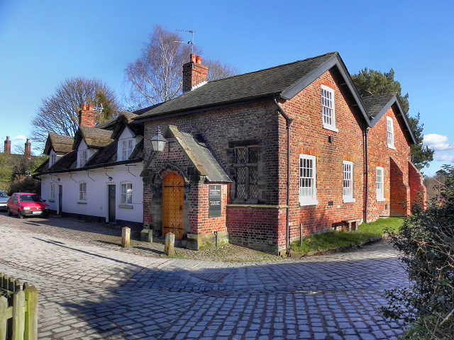
Image: © David Dixon Taken: 19 Feb 2012
The Greg family (owners of Quarry Bank Mill) were Unitarians and built the nearby Norcliffe Chapel in Styal village in 1823. At around the same time, Methodist workers at the mill sought a place of worship, and the Gregs converted this former grain store (probably dating from the late eighteenth century) into a Methodist Chapel for their use. It is a Grade II Listed Building (http://www.britishlistedbuildings.co.uk/en-414119-methodist-chapel-farm-fold-wilmslow - British Listed Buildings)
Images are licensed for reuse under creativecommons.org/licenses/by-sa/2.0
Image Location
Latitude
53.347775
Longitude
-2.247062