The churchyard at Mickleham
Introduction
The photograph on this page of The churchyard at Mickleham by Stefan Czapski as part of the Geograph project.
The Geograph project started in 2005 with the aim of publishing, organising and preserving representative images for every square kilometre of Great Britain, Ireland and the Isle of Man.

There are currently over 7.5m images from over 14,400 individuals and you can help contribute to the project by visiting https://www.geograph.org.uk
The churchyard at Mickleham
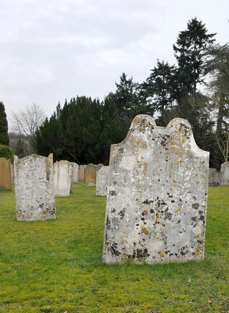
Image: © Stefan Czapski Taken: 14 Feb 2012
The south side of the churchyard, looking east. The weathered tombstones nearest the camera are of 18th century date. I can't identify the stone they are made of, and it cannot be local. Whatever it is, it attracts lichens, unlike the more yellowish stones seen in the background.
Images are licensed for reuse under creativecommons.org/licenses/by-sa/2.0
Image Location
Latitude
51.267291
Longitude
-0.323335