2012 : The Cooperative, Winterbourne
Introduction
The photograph on this page of 2012 : The Cooperative, Winterbourne by Maurice Pullin as part of the Geograph project.
The Geograph project started in 2005 with the aim of publishing, organising and preserving representative images for every square kilometre of Great Britain, Ireland and the Isle of Man.

There are currently over 7.5m images from over 14,400 individuals and you can help contribute to the project by visiting https://www.geograph.org.uk
2012 : The Cooperative, Winterbourne
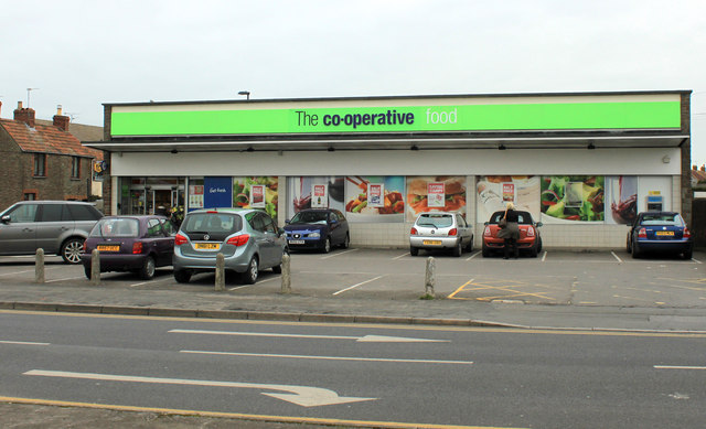
Image: © Maurice Pullin Taken: 16 Feb 2012
On the corner of Dragon Road and Flaxpits Lane, more parking on Flaxpits Lane and at the rear. Nothing to be found on the web.
Images are licensed for reuse under creativecommons.org/licenses/by-sa/2.0
Image Location
Latitude
51.522402
Longitude
-2.508596