Road from Abergavenny reaches Grosmont
Introduction
The photograph on this page of Road from Abergavenny reaches Grosmont by Jaggery as part of the Geograph project.
The Geograph project started in 2005 with the aim of publishing, organising and preserving representative images for every square kilometre of Great Britain, Ireland and the Isle of Man.

There are currently over 7.5m images from over 14,400 individuals and you can help contribute to the project by visiting https://www.geograph.org.uk
Road from Abergavenny reaches Grosmont
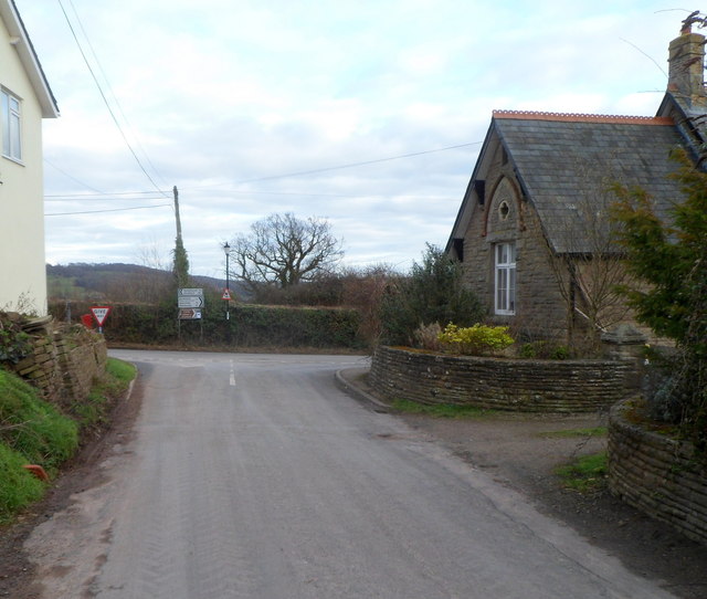
Image: © Jaggery Taken: 19 Feb 2012
Looking along the eastern end of the road from Abergavenny. Ahead is the B4347 junction. The Old School is on the right. Turn left for Kentchurch (1½ miles) or Hereford (11 miles). Turn right for Grosmont castle, church and the centre of the village. Skenfrith is 5 miles away and Monmouth 11 miles.
Images are licensed for reuse under creativecommons.org/licenses/by-sa/2.0
Image Location
Latitude
51.916722
Longitude
-2.867948