Chantry House
Introduction
The photograph on this page of Chantry House by Ian Capper as part of the Geograph project.
The Geograph project started in 2005 with the aim of publishing, organising and preserving representative images for every square kilometre of Great Britain, Ireland and the Isle of Man.

There are currently over 7.5m images from over 14,400 individuals and you can help contribute to the project by visiting https://www.geograph.org.uk
Chantry House
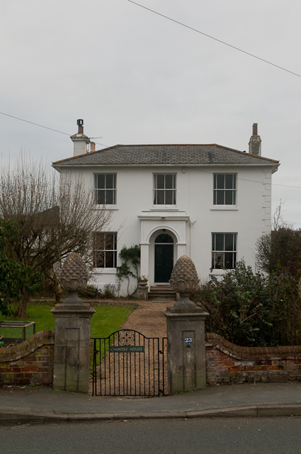
Image: © Ian Capper Taken: 8 Jan 2012
A locally listed house built in 1853 (according to Reigate and Banstead Borough Council's listed building list - recent estate agent sales particulars give a date of 1810).
Images are licensed for reuse under creativecommons.org/licenses/by-sa/2.0
Image Location
Latitude
51.176782
Longitude
-0.172838