Landscaped area at the centre of the Callon Estate
Introduction
The photograph on this page of Landscaped area at the centre of the Callon Estate by Bill Boaden as part of the Geograph project.
The Geograph project started in 2005 with the aim of publishing, organising and preserving representative images for every square kilometre of Great Britain, Ireland and the Isle of Man.

There are currently over 7.5m images from over 14,400 individuals and you can help contribute to the project by visiting https://www.geograph.org.uk
Landscaped area at the centre of the Callon Estate
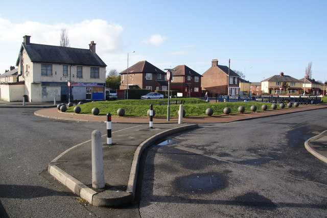
Image: © Bill Boaden Taken: 18 Feb 2012
It is not now possible to drive across this area, with barriers preventing drive through access. There is a corner shop still operating ahead.
Images are licensed for reuse under creativecommons.org/licenses/by-sa/2.0
Image Location
Latitude
53.763318
Longitude
-2.66787