Vicarage Lane
Introduction
The photograph on this page of Vicarage Lane by Ian Capper as part of the Geograph project.
The Geograph project started in 2005 with the aim of publishing, organising and preserving representative images for every square kilometre of Great Britain, Ireland and the Isle of Man.

There are currently over 7.5m images from over 14,400 individuals and you can help contribute to the project by visiting https://www.geograph.org.uk
Vicarage Lane
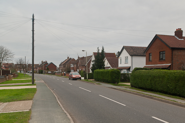
Image: © Ian Capper Taken: 8 Jan 2012
Originally to be called Vicarage Road (and shown as such on the 1912 large scale map), but actually named Vicarage Lane after someone wrongly made the road sign. It formed the western boundary of Horley Common, and still contains a few old cottages built on the common edge. More general building took place from the 1930s onwards. The Vicarage itself was demolished in the early 1960s and replaced with a short close, The Glebe (see Image).
Images are licensed for reuse under creativecommons.org/licenses/by-sa/2.0
Image Location
Latitude
51.178598
Longitude
-0.173968