Plas Llewellyn, Nercwys
Introduction
The photograph on this page of Plas Llewellyn, Nercwys by Aaron Thomas as part of the Geograph project.
The Geograph project started in 2005 with the aim of publishing, organising and preserving representative images for every square kilometre of Great Britain, Ireland and the Isle of Man.

There are currently over 7.5m images from over 14,400 individuals and you can help contribute to the project by visiting https://www.geograph.org.uk
Plas Llewellyn, Nercwys
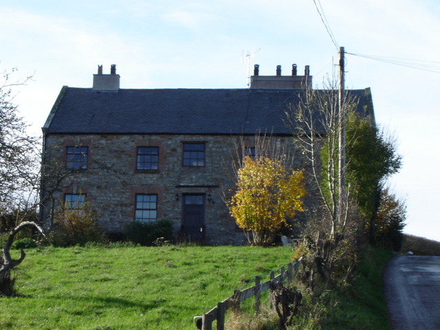
Image: © Aaron Thomas Taken: 19 Nov 2006
Plas Llewellyn, from lower down the hill upon which Ffordd Llewellyn runs. Behind the photographer is Nercwys village.
Images are licensed for reuse under creativecommons.org/licenses/by-sa/2.0
Image Location
Latitude
53.129793
Longitude
-3.150765