Ty Llewellyn, Nercwys
Introduction
The photograph on this page of Ty Llewellyn, Nercwys by Aaron Thomas as part of the Geograph project.
The Geograph project started in 2005 with the aim of publishing, organising and preserving representative images for every square kilometre of Great Britain, Ireland and the Isle of Man.

There are currently over 7.5m images from over 14,400 individuals and you can help contribute to the project by visiting https://www.geograph.org.uk
Ty Llewellyn, Nercwys
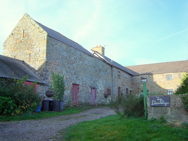
Image: © Aaron Thomas Taken: 19 Nov 2006
Ty Llewellyn, on Ffordd Llewellyn in the hills above Nercwys. Note the vertical wooden slits in the walls, which indicates this used to be an agricultural building. Such slits are common in barns etc in this area.
Images are licensed for reuse under creativecommons.org/licenses/by-sa/2.0
Image Location
Latitude
53.129793
Longitude
-3.150765