Eakring Windmill
Introduction
The photograph on this page of Eakring Windmill by Lorraine and Keith Bowdler as part of the Geograph project.
The Geograph project started in 2005 with the aim of publishing, organising and preserving representative images for every square kilometre of Great Britain, Ireland and the Isle of Man.

There are currently over 7.5m images from over 14,400 individuals and you can help contribute to the project by visiting https://www.geograph.org.uk
Eakring Windmill
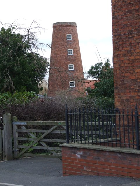
Image: © Lorraine and Keith Bowdler Taken: 15 Feb 2012
The five-storey brick tower windmill was built in 1840. The sails were removed in 1912 and it was converted into a house in 1995.
Images are licensed for reuse under creativecommons.org/licenses/by-sa/2.0
Image Location
Latitude
53.154858
Longitude
-0.995937