The war memorial, West End
Introduction
The photograph on this page of The war memorial, West End by Alan Hunt as part of the Geograph project.
The Geograph project started in 2005 with the aim of publishing, organising and preserving representative images for every square kilometre of Great Britain, Ireland and the Isle of Man.

There are currently over 7.5m images from over 14,400 individuals and you can help contribute to the project by visiting https://www.geograph.org.uk
The war memorial, West End
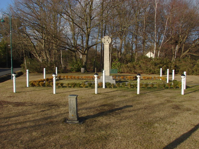
Image: © Alan Hunt Taken: 19 Feb 2012
The war memorial stands in a small triangle of land at the junction between Windlesham Road and Church Lane.
Images are licensed for reuse under creativecommons.org/licenses/by-sa/2.0
Image Location
Latitude
51.342034
Longitude
-0.644088