North Coulsdon
Introduction
The photograph on this page of North Coulsdon by Kurseong Carl as part of the Geograph project.
The Geograph project started in 2005 with the aim of publishing, organising and preserving representative images for every square kilometre of Great Britain, Ireland and the Isle of Man.

There are currently over 7.5m images from over 14,400 individuals and you can help contribute to the project by visiting https://www.geograph.org.uk
North Coulsdon
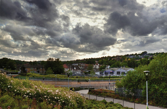
Image: © Kurseong Carl Taken: 19 Feb 2012
A view of the North end of Coulsdon town from the elevated pedestrian footpath constructed alongside Smitham Station and bridging the London-Brighton railway line.
Images are licensed for reuse under creativecommons.org/licenses/by-sa/2.0
Image Location
Latitude
51.322358
Longitude
-0.135183