Llanellen
Introduction
The photograph on this page of Llanellen by Jennifer Luther Thomas as part of the Geograph project.
The Geograph project started in 2005 with the aim of publishing, organising and preserving representative images for every square kilometre of Great Britain, Ireland and the Isle of Man.

There are currently over 7.5m images from over 14,400 individuals and you can help contribute to the project by visiting https://www.geograph.org.uk
Llanellen
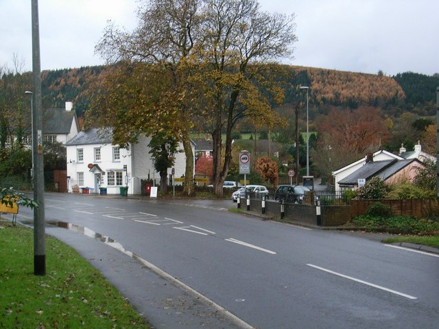
Image: © Jennifer Luther Thomas Taken: 17 Nov 2006
Entering the village on the A4042. Post Office ahead, craft shop & tearooms (with village hall behind) the pink building on the right.
Images are licensed for reuse under creativecommons.org/licenses/by-sa/2.0
Image Location
Latitude
51.792404
Longitude
-3.010554