D?n Coillich Observation and Education Facility
Introduction
The photograph on this page of D?n Coillich Observation and Education Facility by Russel Wills as part of the Geograph project.
The Geograph project started in 2005 with the aim of publishing, organising and preserving representative images for every square kilometre of Great Britain, Ireland and the Isle of Man.

There are currently over 7.5m images from over 14,400 individuals and you can help contribute to the project by visiting https://www.geograph.org.uk
D?n Coillich Observation and Education Facility
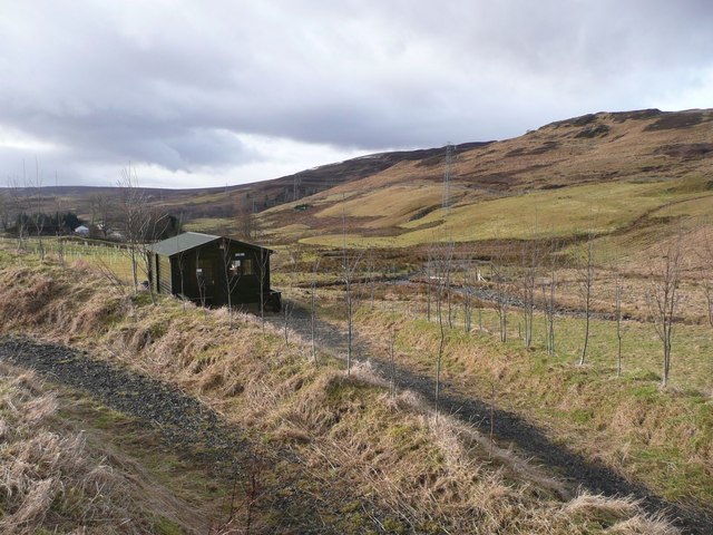
Image: © Russel Wills Taken: 17 Feb 2012
The Observation and Education Facility (The OEF), erected about 60 m from the car-park, overlooking the ponds and woodland. http://www.hpclt.org/
Images are licensed for reuse under creativecommons.org/licenses/by-sa/2.0
Image Location
Latitude
56.651466
Longitude
-4.010044