East Devon : Grassy Field & House
Introduction
The photograph on this page of East Devon : Grassy Field & House by Lewis Clarke as part of the Geograph project.
The Geograph project started in 2005 with the aim of publishing, organising and preserving representative images for every square kilometre of Great Britain, Ireland and the Isle of Man.

There are currently over 7.5m images from over 14,400 individuals and you can help contribute to the project by visiting https://www.geograph.org.uk
East Devon : Grassy Field & House
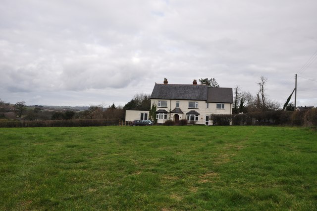
Image: © Lewis Clarke Taken: 16 Feb 2012
A house near Musbury in East Devon - on Google Maps it is close to Bent Oak.
Images are licensed for reuse under creativecommons.org/licenses/by-sa/2.0
Image Location
Latitude
50.75069
Longitude
-3.028493