Footpath to Wood Farm
Introduction
The photograph on this page of Footpath to Wood Farm by Michael Westley as part of the Geograph project.
The Geograph project started in 2005 with the aim of publishing, organising and preserving representative images for every square kilometre of Great Britain, Ireland and the Isle of Man.

There are currently over 7.5m images from over 14,400 individuals and you can help contribute to the project by visiting https://www.geograph.org.uk
Footpath to Wood Farm
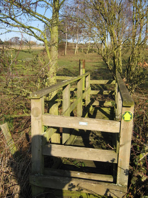
Image: © Michael Westley Taken: 11 Feb 2012
Crossing the stile and bridge for dried up stream, the right of way heads uphill towards Wood Farm
Images are licensed for reuse under creativecommons.org/licenses/by-sa/2.0
Image Location
Latitude
52.58209
Longitude
-1.761315