Ferry Lane
Introduction
The photograph on this page of Ferry Lane by Trevor Rickard as part of the Geograph project.
The Geograph project started in 2005 with the aim of publishing, organising and preserving representative images for every square kilometre of Great Britain, Ireland and the Isle of Man.

There are currently over 7.5m images from over 14,400 individuals and you can help contribute to the project by visiting https://www.geograph.org.uk
Ferry Lane
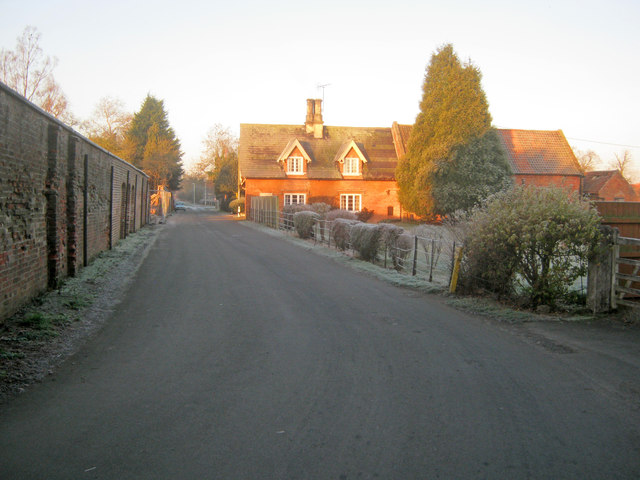
Image: © Trevor Rickard Taken: 16 Jan 2012
Looking westwards from the junction with Church Lane as early morning sunlight catches Holly Farm on the right. The walled garden of Carlton Hall is on the left, which has a plant nursery in the stable yard.
Images are licensed for reuse under creativecommons.org/licenses/by-sa/2.0
Image Location
Latitude
53.168655
Longitude
-0.805779