Holt Wood, Queens Copse Lane
Introduction
The photograph on this page of Holt Wood, Queens Copse Lane by Mike Faherty as part of the Geograph project.
The Geograph project started in 2005 with the aim of publishing, organising and preserving representative images for every square kilometre of Great Britain, Ireland and the Isle of Man.

There are currently over 7.5m images from over 14,400 individuals and you can help contribute to the project by visiting https://www.geograph.org.uk
Holt Wood, Queens Copse Lane
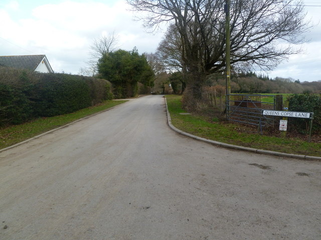
Image: © Mike Faherty Taken: 16 Feb 2012
Leading to a private housing development; bridleway on the right-hand verge.
Images are licensed for reuse under creativecommons.org/licenses/by-sa/2.0
Image Location
Latitude
50.852068
Longitude
-1.954348