The Shore Road, Jordanstown/Greenisland (1)
Introduction
The photograph on this page of The Shore Road, Jordanstown/Greenisland (1) by Albert Bridge as part of the Geograph project.
The Geograph project started in 2005 with the aim of publishing, organising and preserving representative images for every square kilometre of Great Britain, Ireland and the Isle of Man.

There are currently over 7.5m images from over 14,400 individuals and you can help contribute to the project by visiting https://www.geograph.org.uk
The Shore Road, Jordanstown/Greenisland (1)
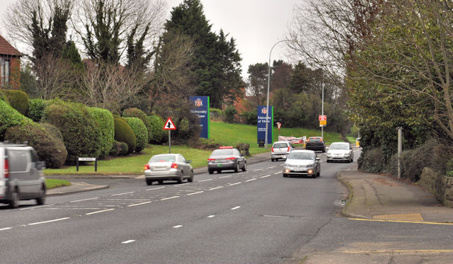
Image: © Albert Bridge Taken: 16 Feb 2012
The end of the present four-lane stretch (looking towards Carrickfergus), at Jordanstown, of the Shore Road from Whiteabbey. Part of this turning circle Image is at bottom right. The Grange is towards the lower left. The reserved line is clearly visible to the left of the northbound traffic.
Images are licensed for reuse under creativecommons.org/licenses/by-sa/2.0
Image Location
Latitude
54.68387
Longitude
-5.879456