Railway Bridge, Neilston
Introduction
The photograph on this page of Railway Bridge, Neilston by wfmillar as part of the Geograph project.
The Geograph project started in 2005 with the aim of publishing, organising and preserving representative images for every square kilometre of Great Britain, Ireland and the Isle of Man.

There are currently over 7.5m images from over 14,400 individuals and you can help contribute to the project by visiting https://www.geograph.org.uk
Railway Bridge, Neilston
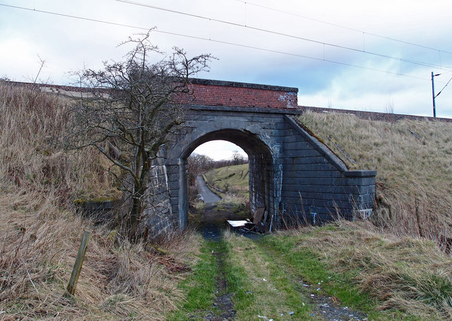
Image: © wfmillar Taken: 15 Feb 2012
Allowing field access under the Neilston/Rutherglen branch line. Looking through to Springfield Road from farmland.
Images are licensed for reuse under creativecommons.org/licenses/by-sa/2.0
Image Location
Latitude
55.786206
Longitude
-4.398279