Upcott Cross
Introduction
The photograph on this page of Upcott Cross by Derek Harper as part of the Geograph project.
The Geograph project started in 2005 with the aim of publishing, organising and preserving representative images for every square kilometre of Great Britain, Ireland and the Isle of Man.

There are currently over 7.5m images from over 14,400 individuals and you can help contribute to the project by visiting https://www.geograph.org.uk
Upcott Cross
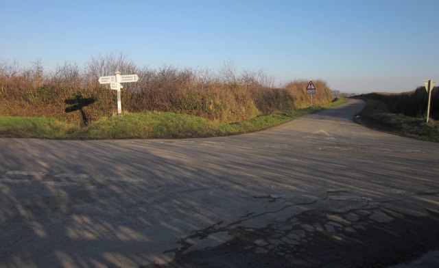
Image: © Derek Harper Taken: 8 Feb 2012
A crossroads of lanes; the lane ahead leads to Upcott. The main lane here is advertised on the signpost for Ashwater and Halwill (left) and Broadwood and Launceston (right). It's a much shorter distance to Broadwood (by which they must mean Broadwoodwidger) to go via Upcott: less than two miles rather than the four advertised, though there are a couple of steep hills.
Images are licensed for reuse under creativecommons.org/licenses/by-sa/2.0
Image Location


Leaflet Map data © OpenStreetMap
Latitude
50.69124
Longitude
-4.282319