The Capper Neil empire as was...
Introduction
The photograph on this page of The Capper Neil empire as was... by andy as part of the Geograph project.
The Geograph project started in 2005 with the aim of publishing, organising and preserving representative images for every square kilometre of Great Britain, Ireland and the Isle of Man.

There are currently over 7.5m images from over 14,400 individuals and you can help contribute to the project by visiting https://www.geograph.org.uk
The Capper Neil empire as was...
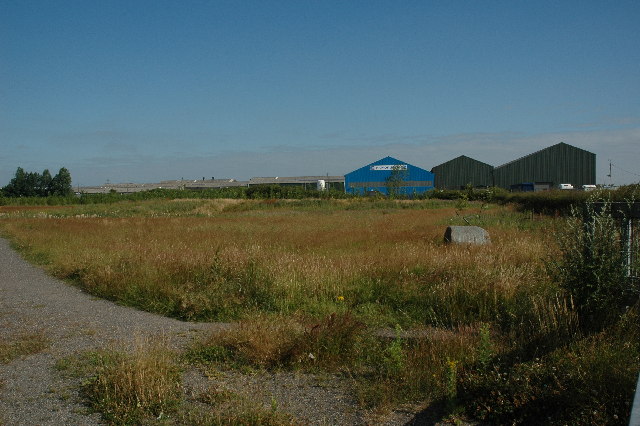
Image: © andy Taken: 17 Jul 2005
In the distance is what used to be the factory units that made up the various companies part of the Capper Neil empire back in the eighties. My dad was a time served welder and started his career for William Neils before Capper came on the scene. Some twenty years later I ended up spending 6 months at a training centre on the same site. Nowadays it's looking a bit worse for wear although there is still a lot of activity there. In the foreground you can see what is the start of Wheatacre Woods. There is an ongoing initiative by the Forestry Commission to bring woodland areas once blighted by industry.
Images are licensed for reuse under creativecommons.org/licenses/by-sa/2.0
Image Location


Leaflet Map data © OpenStreetMap
Latitude
53.427316
Longitude
-2.686218