Viaduct at Riding Lane
Introduction
The photograph on this page of Viaduct at Riding Lane by Graham Horn as part of the Geograph project.
The Geograph project started in 2005 with the aim of publishing, organising and preserving representative images for every square kilometre of Great Britain, Ireland and the Isle of Man.

There are currently over 7.5m images from over 14,400 individuals and you can help contribute to the project by visiting https://www.geograph.org.uk
Viaduct at Riding Lane
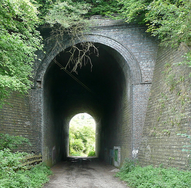
Image: © Graham Horn Taken: 29 Aug 2011
The Aylesbury to London Marylebone railway line, the Chiltern Line, is high above the surrounding countryside here. Consequently Riding Lane cuts through the embankment in a long and tall tunnel. This is wonderful Victorian engineering with great brickwork.
Images are licensed for reuse under creativecommons.org/licenses/by-sa/2.0
Image Location
Latitude
51.607657
Longitude
-0.675325