Riding Lane
Introduction
The photograph on this page of Riding Lane by Graham Horn as part of the Geograph project.
The Geograph project started in 2005 with the aim of publishing, organising and preserving representative images for every square kilometre of Great Britain, Ireland and the Isle of Man.

There are currently over 7.5m images from over 14,400 individuals and you can help contribute to the project by visiting https://www.geograph.org.uk
Riding Lane
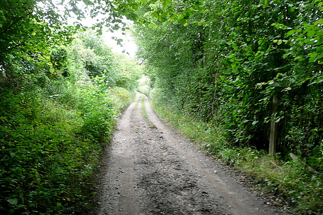
Image: © Graham Horn Taken: 29 Aug 2011
One of those white roads on the map, that is not quite a surfaced route and is marked with green dots as 'other route with public access' to avoid any doubt. Given its name I expected to see horse riders.
Images are licensed for reuse under creativecommons.org/licenses/by-sa/2.0
Image Location
Latitude
51.614028
Longitude
-0.674129