Wincle - valley of Highmoor Brook
Introduction
The photograph on this page of Wincle - valley of Highmoor Brook by Mike Harris as part of the Geograph project.
The Geograph project started in 2005 with the aim of publishing, organising and preserving representative images for every square kilometre of Great Britain, Ireland and the Isle of Man.

There are currently over 7.5m images from over 14,400 individuals and you can help contribute to the project by visiting https://www.geograph.org.uk
Wincle - valley of Highmoor Brook
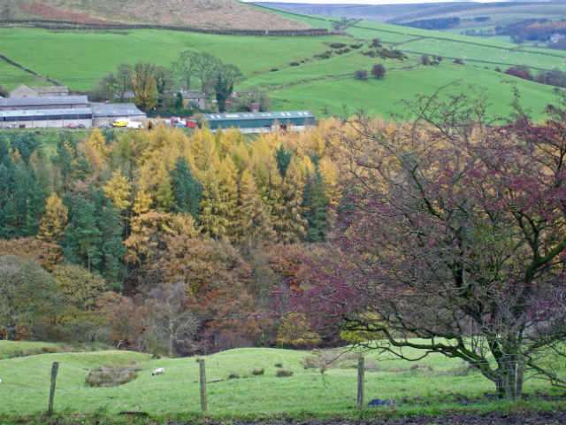
Image: © Mike Harris Taken: 16 Nov 2006
Wincle: SJ 9653 6781 @ 055° - view towards Lower Nabbs Farm across the valley of Highmoor Brook from the slopes of Hammerton Knowl.
Images are licensed for reuse under creativecommons.org/licenses/by-sa/2.0
Image Location
Latitude
53.207346
Longitude
-2.053411