Field near Dubbs Cross
Introduction
The photograph on this page of Field near Dubbs Cross by Derek Harper as part of the Geograph project.
The Geograph project started in 2005 with the aim of publishing, organising and preserving representative images for every square kilometre of Great Britain, Ireland and the Isle of Man.

There are currently over 7.5m images from over 14,400 individuals and you can help contribute to the project by visiting https://www.geograph.org.uk
Field near Dubbs Cross
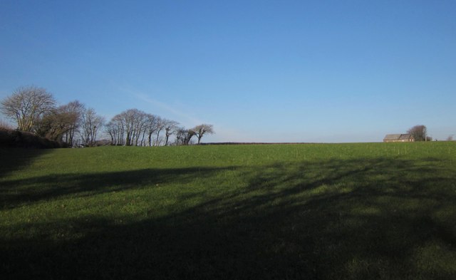
Image: © Derek Harper Taken: 8 Feb 2012
On the right is the former United Methodist Free Chapel, dating from 1862, with a Sunday School addition; it is now a private house http://www.virginstowe.org.uk/index.aspx?articleid=6099 . View from the same spot as Image
Images are licensed for reuse under creativecommons.org/licenses/by-sa/2.0
Image Location


Leaflet Map data © OpenStreetMap
Latitude
50.711467
Longitude
-4.28741