Middlecott Cross
Introduction
The photograph on this page of Middlecott Cross by Derek Harper as part of the Geograph project.
The Geograph project started in 2005 with the aim of publishing, organising and preserving representative images for every square kilometre of Great Britain, Ireland and the Isle of Man.

There are currently over 7.5m images from over 14,400 individuals and you can help contribute to the project by visiting https://www.geograph.org.uk
Middlecott Cross
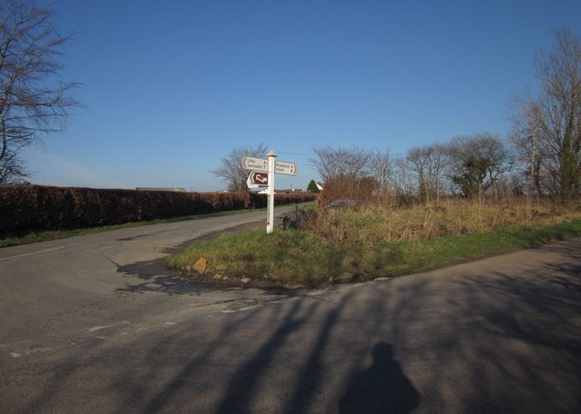
Image: © Derek Harper Taken: 8 Feb 2012
A fork in the road northeast of Dubbs Cross, with the lane to Bradaford heading left from the road to Ivyhouse Cross. Visible in the background is the scene in Image Visible in the foreground is the photographer's shadow.
Images are licensed for reuse under creativecommons.org/licenses/by-sa/2.0
Image Location
Latitude
50.714906
Longitude
-4.281769