Corfe: war memorial
Introduction
The photograph on this page of Corfe: war memorial by Martin Bodman as part of the Geograph project.
The Geograph project started in 2005 with the aim of publishing, organising and preserving representative images for every square kilometre of Great Britain, Ireland and the Isle of Man.

There are currently over 7.5m images from over 14,400 individuals and you can help contribute to the project by visiting https://www.geograph.org.uk
Corfe: war memorial
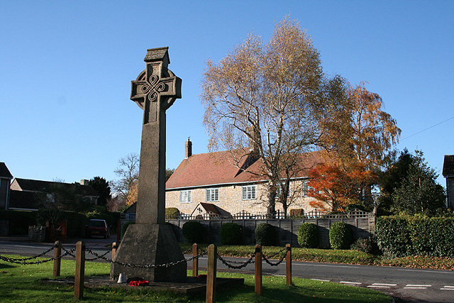
Image: © Martin Bodman Taken: 18 Nov 2006
Near the 19th century church and by the entrance to Mill Lane. Greystones is the house across the main road. Looking west-south-west
Images are licensed for reuse under creativecommons.org/licenses/by-sa/2.0
Image Location
Latitude
50.971666
Longitude
-3.095038