Clows Top crossroads
Introduction
The photograph on this page of Clows Top crossroads by Richard Greenwood as part of the Geograph project.
The Geograph project started in 2005 with the aim of publishing, organising and preserving representative images for every square kilometre of Great Britain, Ireland and the Isle of Man.

There are currently over 7.5m images from over 14,400 individuals and you can help contribute to the project by visiting https://www.geograph.org.uk
Clows Top crossroads
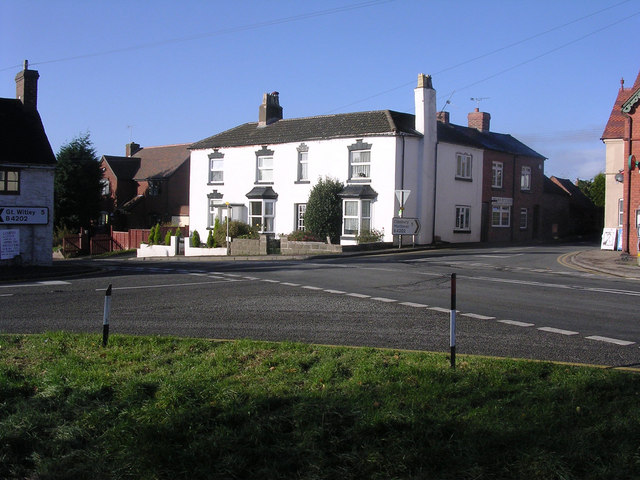
Image: © Richard Greenwood Taken: 18 Nov 2006
This view is taken from what was the Crown public house (demolished about 15 -20 years ago). The main road running from right to left is the A456 Kidderminster to Tenbury road.The B4202 goes right to Cleobury Mortimer (5 miles) and left to Great Witley (also 5 miles). Clows Top is a small hamlet on the top of a hill (231m just SE of where this picture was taken). It still has a butchers, the first building in shadow to the right of the white house, and a post office on the extreme right. I wonder for how much longer?
Images are licensed for reuse under creativecommons.org/licenses/by-sa/2.0
Image Location
Latitude
52.343524
Longitude
-2.421236