Typical Vale of Belvoir farmland
Introduction
The photograph on this page of Typical Vale of Belvoir farmland by Kate Jewell as part of the Geograph project.
The Geograph project started in 2005 with the aim of publishing, organising and preserving representative images for every square kilometre of Great Britain, Ireland and the Isle of Man.

There are currently over 7.5m images from over 14,400 individuals and you can help contribute to the project by visiting https://www.geograph.org.uk
Typical Vale of Belvoir farmland
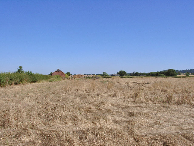
Image: © Kate Jewell Taken: 17 Jul 2005
The villages in the Vale are built on three east-west ridges, about 100-200ft above sea level. Between, the farmland is quite flat and can appear featureless. This photo shows a small derelict barn with a "blue" tile roof. In the same square and just visible in the middle distance is Woodside Farm with large modern metal barns.
Images are licensed for reuse under creativecommons.org/licenses/by-sa/2.0
Image Location
Latitude
52.893494
Longitude
-0.825098