Down stream from bridge over Afon Taf
Introduction
The photograph on this page of Down stream from bridge over Afon Taf by chris whitehouse as part of the Geograph project.
The Geograph project started in 2005 with the aim of publishing, organising and preserving representative images for every square kilometre of Great Britain, Ireland and the Isle of Man.

There are currently over 7.5m images from over 14,400 individuals and you can help contribute to the project by visiting https://www.geograph.org.uk
Down stream from bridge over Afon Taf
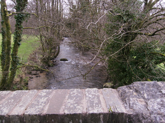
Image: © chris whitehouse Taken: 14 Feb 2012
The Afon Taf flowing south towards Llanglydwen, photo from road bridge between Glandwr and Rhydowen
Images are licensed for reuse under creativecommons.org/licenses/by-sa/2.0
Image Location


Leaflet Map data © OpenStreetMap
Latitude
51.924743
Longitude
-4.628009