Witchampton, Lawrence Lane
Introduction
The photograph on this page of Witchampton, Lawrence Lane by Mike Faherty as part of the Geograph project.
The Geograph project started in 2005 with the aim of publishing, organising and preserving representative images for every square kilometre of Great Britain, Ireland and the Isle of Man.

There are currently over 7.5m images from over 14,400 individuals and you can help contribute to the project by visiting https://www.geograph.org.uk
Witchampton, Lawrence Lane
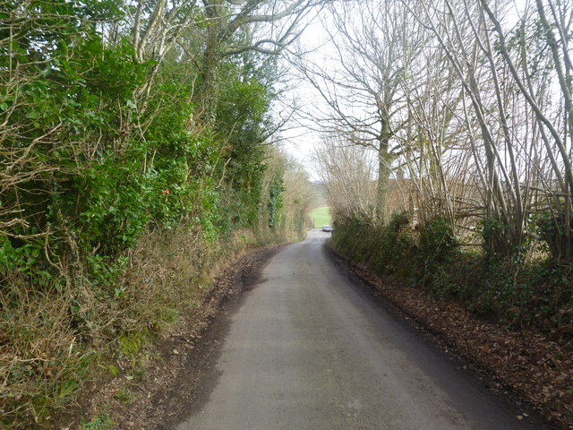
Image: © Mike Faherty Taken: 14 Feb 2012
Descending into the Allen valley, a lane linking Crichel Lane with the road to New Town.
Images are licensed for reuse under creativecommons.org/licenses/by-sa/2.0
Image Location
Latitude
50.863496
Longitude
-2.0143