Former Lower Goodacre Farm
Introduction
The photograph on this page of Former Lower Goodacre Farm by Derek Harper as part of the Geograph project.
The Geograph project started in 2005 with the aim of publishing, organising and preserving representative images for every square kilometre of Great Britain, Ireland and the Isle of Man.

There are currently over 7.5m images from over 14,400 individuals and you can help contribute to the project by visiting https://www.geograph.org.uk
Former Lower Goodacre Farm
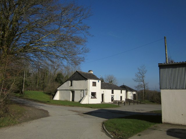
Image: © Derek Harper Taken: 8 Feb 2012
A winter view of the scene in Image, with a beech tree on the left. Roadford Lake Watersports Centre is run by the charity South West Lakes Trust and now called "Outdoor + Active Roadford". It offers not merely sailing, windsurfing and kayaking but archery, a climbing wall, and a high ropes course as well as a campsite and a range of other activities.
Images are licensed for reuse under creativecommons.org/licenses/by-sa/2.0
Image Location
Latitude
50.695492
Longitude
-4.239336