Farm land, Primrose Hill, Burtonwood
Introduction
The photograph on this page of Farm land, Primrose Hill, Burtonwood by andy as part of the Geograph project.
The Geograph project started in 2005 with the aim of publishing, organising and preserving representative images for every square kilometre of Great Britain, Ireland and the Isle of Man.

There are currently over 7.5m images from over 14,400 individuals and you can help contribute to the project by visiting https://www.geograph.org.uk
Farm land, Primrose Hill, Burtonwood
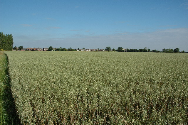
Image: © andy Taken: 17 Jul 2005
Primrose Hill Farm is somewhere to the left of this picture and I'm guessing here but I imagine this is their field of what I believe to be barley (certainly isn't wheat anyways).
Images are licensed for reuse under creativecommons.org/licenses/by-sa/2.0
Image Location
Latitude
53.427567
Longitude
-2.641073