Right of way, Middleton Wood Farm
Introduction
The photograph on this page of Right of way, Middleton Wood Farm by Michael Westley as part of the Geograph project.
The Geograph project started in 2005 with the aim of publishing, organising and preserving representative images for every square kilometre of Great Britain, Ireland and the Isle of Man.

There are currently over 7.5m images from over 14,400 individuals and you can help contribute to the project by visiting https://www.geograph.org.uk
Right of way, Middleton Wood Farm
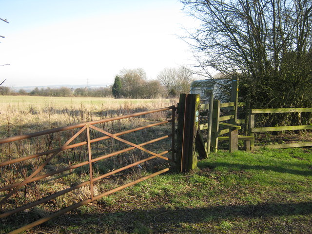
Image: © Michael Westley Taken: 11 Feb 2012
A right of way (marked footpath) between New Park Wood and the Clay Pigeon shooting range, crosses the end of cul-de-sac country lane beside a farm.
Images are licensed for reuse under creativecommons.org/licenses/by-sa/2.0
Image Location
Latitude
52.583973
Longitude
-1.758943