Pipp Brook in Dorking
Introduction
The photograph on this page of Pipp Brook in Dorking by Nigel Cox as part of the Geograph project.
The Geograph project started in 2005 with the aim of publishing, organising and preserving representative images for every square kilometre of Great Britain, Ireland and the Isle of Man.

There are currently over 7.5m images from over 14,400 individuals and you can help contribute to the project by visiting https://www.geograph.org.uk
Pipp Brook in Dorking
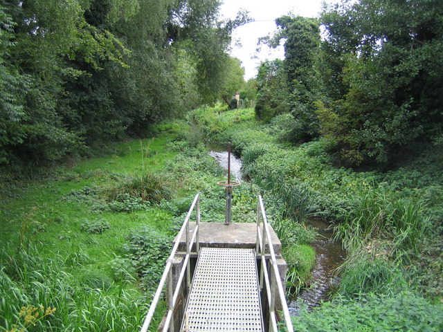
Image: © Nigel Cox Taken: 20 Sep 2006
Viewed looking upstream from Pippbrook Mill, the sluice gate can be used to control water flow around the mill.
Images are licensed for reuse under creativecommons.org/licenses/by-sa/2.0
Image Location
Latitude
51.236337
Longitude
-0.328328