Saint Gabriel's RC Primary School
Introduction
The photograph on this page of Saint Gabriel's RC Primary School by Thomas Nugent as part of the Geograph project.
The Geograph project started in 2005 with the aim of publishing, organising and preserving representative images for every square kilometre of Great Britain, Ireland and the Isle of Man.

There are currently over 7.5m images from over 14,400 individuals and you can help contribute to the project by visiting https://www.geograph.org.uk
Saint Gabriel's RC Primary School
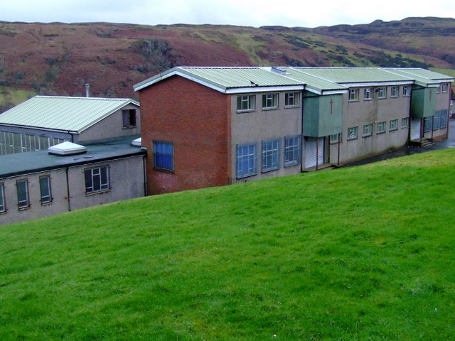
Image: © Thomas Nugent Taken: 5 Feb 2012
On Juno Terrace, viewed from Braeside Road, with Spango Valley in the distance. The school was demolished a few weeks after this photo was taken.
Images are licensed for reuse under creativecommons.org/licenses/by-sa/2.0
Image Location
Latitude
55.936709
Longitude
-4.824086