Footpath to om g o ow
Introduction
The photograph on this page of Footpath to om g o ow by Jonathan Kington as part of the Geograph project.
The Geograph project started in 2005 with the aim of publishing, organising and preserving representative images for every square kilometre of Great Britain, Ireland and the Isle of Man.

There are currently over 7.5m images from over 14,400 individuals and you can help contribute to the project by visiting https://www.geograph.org.uk
Footpath to om g o ow
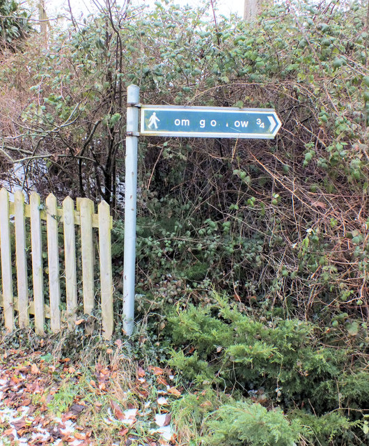
Image: © Jonathan Kington Taken: 12 Feb 2012
Just what you need on a Sunday ramble, a game of Hangman! A bit of research with the map gives the answer Homington Down.
Images are licensed for reuse under creativecommons.org/licenses/by-sa/2.0
Image Location


Leaflet Map data © OpenStreetMap
Latitude
51.033704
Longitude
-1.840938